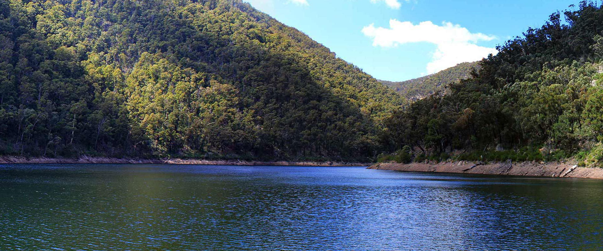
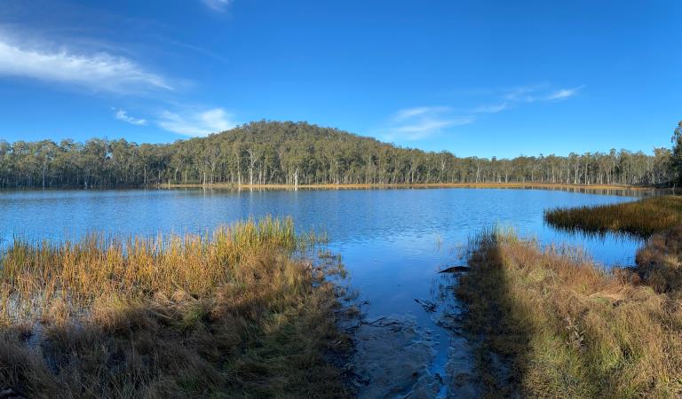
Tali Karng is a hidden jewel nestled deep in the mountains of Gippsland, fed by snowmelt waters of the Wellington Plains. Accessible only by walking track, this tranquil lake is sacred to the Gunaikurnai people. Please treat the area with respect, and do not camp at the lake.
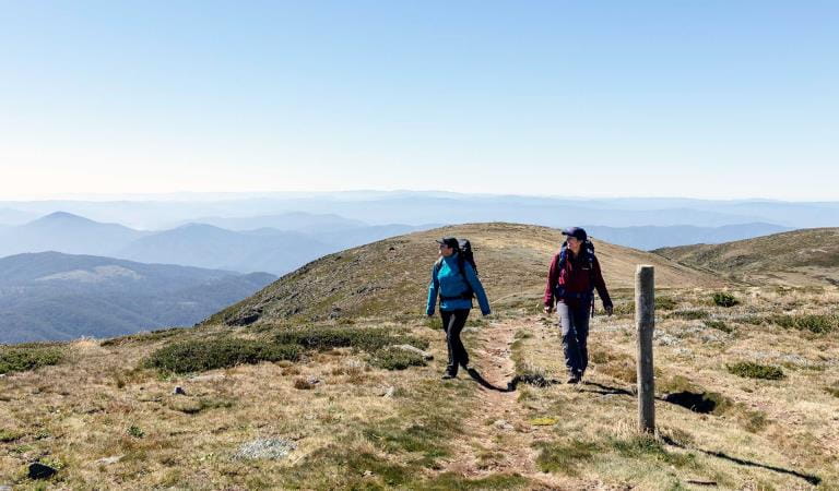
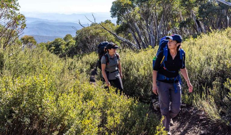
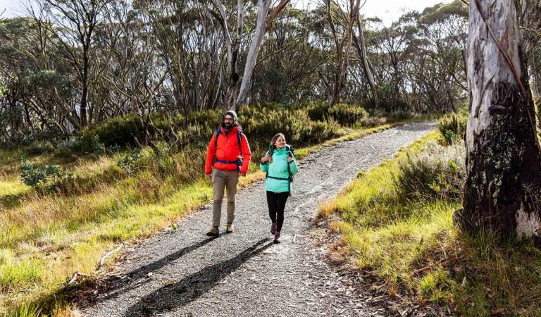
The trip to Tali Karng is an adventurer's dream. Three walking tracks lead to the lake, ranging from 13km to 20km one-way. Whichever you take, you'll need to be fit and experienced, and have everything you need for a full day's walk on hand (see the Visitor Guide for more details).
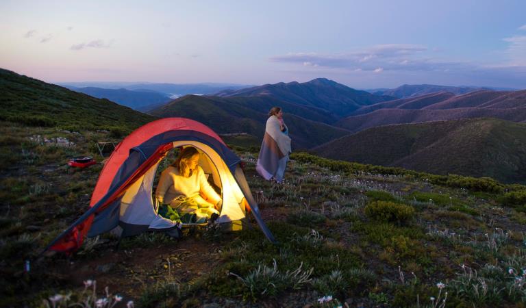
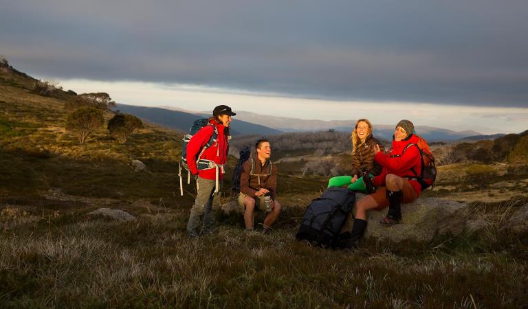
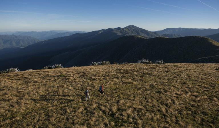
Each of the tracks offers a different landscape to experience. Trek across Wellington Plains or ford the Wellington River. The remoteness of the area makes it a magnificent camping spot.
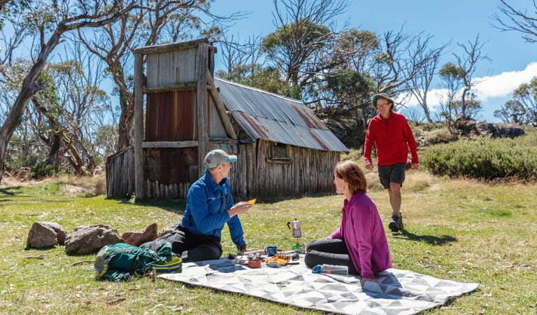
Make camp at Nyimba Camp near the southern end of the Wellington Plains walking track, or below the lake in the Valley of Destruction. Nyimba Camp has toilets and fireplaces.
Tali Karng is the only natural lake within the Victorian Alps. Held behind a rock barrier created thousands of years ago, the underground stream it feeds emerges at the infant Wellington River 150m below in the Valley of Destruction.
The first people to call this area home were the Gunaikurnai people, most likely members of the Brayakaulung clan. Aboriginal people guided many European explorers and gold miners through the mountains along well-used pathways, which now form some of today's road and track network.
Tali Karng is a sacred place to the Gunaikurnai and in keeping with their law, Aboriginal people are forbidden to go there.
Aboriginal people do not oppose non-indigenous people visiting Tali Karng as long as they treat the area with respect. Camping at the lake is disrespectful, so please treat the area with care as you pass by the lake and camp elsewhere.
Things To Do
This area is well known for its wildlife. Keep an eye out for:
Hiking in Alpine National Park
Dispersed camping in Alpine National Park
Alpine Discovery Days
How to get there
Tali Karng
When you're there
Need to know
Tali Karng
Accessibility
Visiting a park can be more of a challenge for people with disabilities, however in Victoria there are a wide range of facilities to help people of all abilities enjoy our wonderful parks around the state.
Assistance dogs are welcome in Parks Victoria parks and reserves. Entry requirements apply for parks and reserves that are usually dog prohibited, such as national parks.
Safety in nature
To ensure that you and your companions stay safe, always remember that the natural environment can be unpredictable. Before you go, take a look at our safety tips and check our changed conditions and closures information for a great visit.
Change of Conditions
Nature being nature, sometimes conditions can change at short notice. It’s a good idea to check this page ahead of your visit for any updates.
-
Notices Affecting Multiple Sites
Temporary closure of Bennies and surrounding tracks for Planned Burn
Planned burning operations are scheduled in this park which will result in the temporary closure of the following sites and tracks:- Bennies Camping Area- Bennies Day Visitor Area- Bennies Lane- Cherry Tree Track- Wild Horse Gap Track- Lake Cobbler Track- Stockyard Track- Burnt Top Track- Upper Rose River TrackThe sites and tracks listed above will be closed from the time a burn is approved for ignition until the area is declared safe. Ignition of the burn is scheduled from Thursday 2nd May 2024, subject to favourable weather. Check the status of the current planned burns at https://plannedburns.ffm.vic.gov.au. -
Alpine National Park
Planned Burning along the Benambra Corryong Road at Pheasant Creek 3rd - 10th May 2024
In the Alpine National Park, DEECA's Tambo team is conducting a planned fuel reduction burn along the Benambra Corryong Road near Pheasant Creek. This is part of a significant burning operation and will proceed in this are on Friday 3rd May 2024 and will be patrolled for the following week.Traffic control will be in place.Staying informed - How can I find out about a burn near me?Sign up to receive free automated SMS and email notifications about any upcoming FFMVic and CFA planned burns at the Forest Fire Management Victoria website.Call - For information and advice on campground bookings and cancellations contact Parks Victoria on 13 1963.For general planned burn information you can also contact The VicEmergency Hotline on 1800 226 226Smoke and Your Health
You may see and smell smoke from planned burns. For advice on how this may impact your health, visit EPA Victoria.Dial 000 IN AN EMERGENCYAttachments: Benambra_PheasantCreekLMB_BaseOpsMapA1.MapBook (5,236KB)
Eastern Alps track closures due to storm and flood damage
The 4x4 tracks in the Eastern Region are an iconic part of Victoria and an important focal point for many people. With a large number of visits per year, they are very popular for outdoor activities such as camping, hiking, mountain biking and four-wheel driving.Unfortunately, sometimes we must close infrastructure in the interests of public safety and environmental protection.
The following tracks have been significantly damaged by storms and floods and are currently closed to motor vehicles to ensure public safety and environmental protection:- Cobberas Track
- Macfarlane Flat Track
- Ingeegoodbee Track
Before visiting, Visitors should always check the Parks Victoria website for the latest information about their destination.Road maintenance - Tamboritha Road
Road maintenance is currently underway on Tamboritha Road in the Foothills & Southern Alps area of the Alpine National Park. There will be an increase in Truck movements and equipment operating along Tamboritha Road between Bennison Gravel Pit and Arbuckle Junction.Please be aware traffic management is in place with possible delays. Always adhere to signs and please drive carefully and to the conditions.Restricted Access at Eastern end of Spring Saddle Track
The eastern end of Spring Saddle Track has restricted access due to machinery continuing to clear soil as part of the Bogong Village landslip remediation works. The track is open to pedestrian traffic but not vehicles and no Park visitors will be able to enter the works site at the Eastern end of Spring Saddle Track. There is signage explaining the restrictions at the Spring Saddle Track Fainter Fire Trail intersections.Bogong High Plains Road
Following the landslide at Bogong Village the Bogong High Plains Road is now open however remediation work will continue into the foreseeable future to rectify the damage created by the landslide. Parks Victoria advises that all visitors check the Regional Roads Victoria and Victoria's big build website for the latest traffic updates on closures or delays before visiting.https://regionalroads.vic.gov.au/map/north-eastern-improvements/bogong-high-plains-road-landsliphttps://bigbuild.vic.gov.au/projects/mrpv/bogong-high-plains-road-landslipGround shooting operations targeting Feral Pigs Eastern Alps from 15 April 2024.
Ground operations (ground shooting) targeting Feral Pigs are undertaken across the Eastern Alps, and include areas to the west and north of Suggan Buggan, west of Wulgulmerang, and east of Cobberas and Brumby. The Park will remain open to visitors during operations.
This work is to be carried out dusk to dawn from:
* 15 to 26 April, and
* 29 May to 15 June 2024.Attachments: Flyer for feral pig control FINAL (165KB)
Mt Pinnibar Track - poor track conditions
Mt Pinnibar Track, between Walkers Road and Tom Groggin Track, has developed sections of significant and deep track erosion following flood and storm events.While the track remains open it is recommended that only experienced drivers in well equipped 4WD vehicles attempt this track in dry conditions.All visitors are advised to consider alternate routes to the summit of Mt Pinnibar until repairs can be carried out.Road Conditions – Tamboritha and Howitt Roads
Tamboritha and Howitt Roads in the Foothills and Southern Alps area of the Alpine National Park are currently recommended for all wheel drive and four wheel drive vehicles with sufficient clearance and appropriate tyres. Road maintenance works have been completed on sections the Tamboritha and Howitt Roads in summer 2024, however some road surfaces conditions remain poor.Vehicles travelling on the these roads require attention to variations of the surface condition.Allow more time for your journey and always drive to the conditions. - Cobberas Track
-
Pinnacles Lookout Day Visitor Area (Pinnacle Ck - East Branch Natural Catchment Area, Alpine National Park)
Pinnacles toilet CLOSED until further notice
The drop toilet located at the Pinnacles lookout is closed until further notice due to maintenance requirements. The closest alternative toilet is at Horseyard Flat, Alpine National Park.
We apologise for any inconvenience. -
Moroka Hut and Camping Area (Alpine National Park)
Moroka River Pedestrian Bridge CLOSED until further notice
The Moroka River pedestrian bridge is closed until further notice due to being assessed as structurally unsound.Access to Moroka Hut is via the Moroka Range Walking Track (4WD only). -
Notices Affecting Multiple Parks
Ground shooting operations targeting deer
Control operations (ground shooting) targeting deer are undertaken in this area. The Park will remain open to visitors during operations. -
Federation Hut (Alpine National Park)
Water availability at Federation Hut & Mt Feathertop
The water tank at Federation Hut is currently empty and will not replenished until significant rainfalls.The nearby springs have also slowed up, so hikers should consider taking their own water with them and not be fully reliant on those springs.Water tank at Federation Hut is currently empty.
The water tank at Federation Hut is currently empty and will not be replenished until significant rainfalls.The nearby springs have also slowed up, so walkers should consider taking their own water with them and not be fully reliant on those springs in case they do stop flowing.
Explore Alpine National Park
Falls to Hotham Alpine Crossing
Brabralung Trail
Mount Feathertop
Lake Cobbler
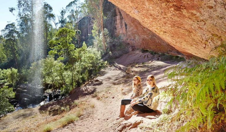
Paradise Falls