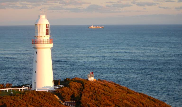
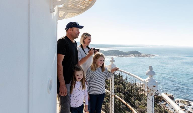
Explore
Fossicking and prospecting
Wychitella Nature Conservation Reserve
Steiglitz Historic Park
Kara Kara National Park
Reef Hills State Park
Paddys Ranges State Park
Kooyoora State Park
Warrandyte State Park
Heathcote-Graytown National Park
Greater Bendigo National Park
Enfield State Park
Chiltern-Mt Pilot National Park
Castlemaine Diggings National Heritage Park
Beechworth Historic Park
Gold panning, fossicking or prospecting typically involves the use of metal detectors, hand tools, pans or sluices in the search for gold, gemstones and other minerals. Prospecting can be an exciting experience. Many of the world’s largest gold nuggets have been found in the Golden Triangle of central Victoria. Elsewhere, gemstone fossickers have found sapphires, zeolites and agate.
Prospecting Areas Maps
Find out more about where you can go prospecting on Parks Victoria managed land using the prospecting areas maps.
For information on other public land areas, contact the relevant land manager.
- Beechworth Historic Park
- Castlemaine Diggings National Heritage Park
- Chiltern-Mt Pilot National Park
- Greater Bendigo National Park and Bendigo Regional Park
- Heathcote-Graytown National Park
- Kara Kara National Park
- Kooyoora State Park
- Paddys Ranges State Park
- Warrandyte State Park
- Wychitella Nature Conservation Reserve
Minimum impact prospecting
You can enjoy prospecting and help minimise any impact in the following ways:
- Prospect only in the permitted area.
- Only drive your vehicles on tracks and roads open to the public.
- Only park your vehicle on the roadside.
- Take all rubbish home or place it in a bin where provided. Do not bury it.
- Minimise any damage to vegetation including the ground layer.
- Restore the ground as you found it - backfill any holes you dig and replace any leaf litter as it was as soon as practicable.
Need to know
Fossicking and prospecting
Prospecting permits
A Miner's Right is a permit for prospecting in Victoria and must be carried at all times while you are prospecting. The only exception is if you are part of an organised group prospecting under the authority of a valid Tourist Fossicking Authority. The Mineral Resources Development Act 1990 sets out the rights and obligations of the holder of a Miner's Right.
Heritage Act 2017
It is an offence under the Heritage Act 2017 to disturb an archaeological site without first obtaining a Consent from the Executive Director, Heritage Victoria.
Archaeological sites include mining sites and the ruins of buildings (for a full definition of archeological sites refer to the Heritage Act 2017). All archaeological sites, whether known or unknown, are protected under the Heritage Act.
It is not an offence to search for and collect an individual artefact if it is not part of an archaeological site. You must get the approval of the landowner to access private land to remove artefacts, or the approval of the land manager to remove artefacts from Crown land.
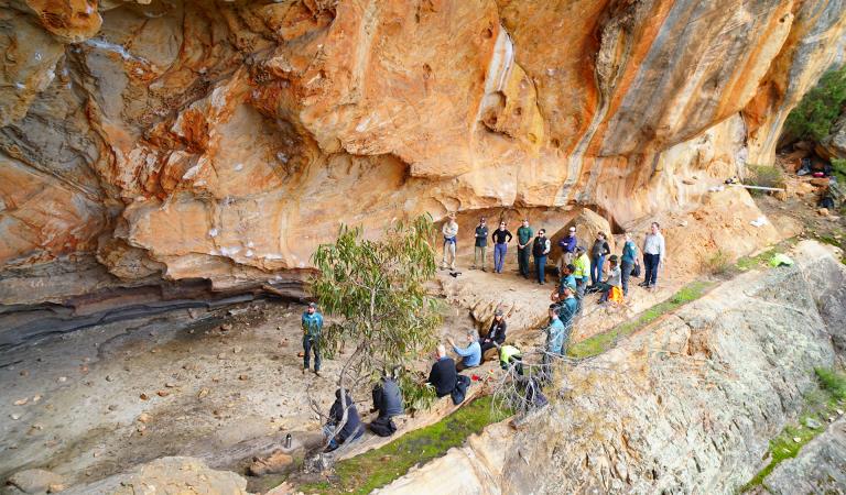
Aboriginal Cultural Heritage
Aboriginal cultural heritage is the continuing record of Victoria's Aboriginal societies, who have existed in this land for tens of thousands of years. It is not just a remnant of history. It's alive, and constantly changing and evolving – often expressed through cultural traditions that have been reclaimed and revitalised in a contemporary setting.
Protecting Aboriginal cultural heritage is not just fundamental for Aboriginal peoples' identity and wellbeing. It's also an important part of Victoria's heritage as a whole – our shared story of how we have grown and evolved as a society. Parks Victoria is committed to protecting and preserving Aboriginal cultural heritage across the parks estate in Victoria.
All Aboriginal cultural heritage is protected under the Aboriginal Heritage Act 2006 (Vic.) (the Act). If you come across any Aboriginal cultural heritage, Section 24 of the Act requires that the discovery of Aboriginal cultural heritage places or objects be reported to the First Peoples – State Relations as soon as practicable. It is an offence under Section 27 of the Act, to harm Aboriginal cultural heritage and under Section 28 to do an act that harms or is likely to harm Aboriginal cultural heritage. See more information about First Peoples State Relations role and Aboriginal cultural heritage and you can find out more about reporting Aboriginal places or objects.
Change of Conditions
Nature being nature, sometimes conditions can change at short notice. It’s a good idea to check this page ahead of your visit for any updates.
-
Castlemaine Diggings National Heritage Park
Planned burn - Glenluce - Irishtown Track
Planned burning operations are scheduled in Castlemaine Diggings National Heritage Park which will result in parts of the park near Irishtown Track being closed from the time a burn is approved for ignition until the area is declared safe. Ignition of the burn is scheduled from 21 April to 30 April and is subject to favourable weather.
Please see attached neighbour letter for more information, including maps.Burn name: LM-MGF-CAS-0625 Glenluce - Irishtown Tk
Size: 399.22 hectaresLocation: 2.2km North of GlenluceScheduled date: Sunday 21 April - Tuesday 30 April 2024 (weather conditions permitting)For more information- DEECA’s Neighbour letter, attached
- DEECA’s planned burn website https://plannedburns.ffm.vic.gov.au/
Attachments: LM-MGF-CAS-0625 Glenluce - Irishtown Tk Neighbour Letter 18-04-24 (388KB)
Loop track closed due to Phytophthora outbreak
Loop access will have limited vehicle access to reduced the risk of spread of phytophthora cinnamomi pathogen. - DEECA’s Neighbour letter, attached
-
Heathcote-Graytown National Park
Planned burn near Amber Drive
Planned burning operations are scheduled in Heathcote Graytown National Park which will result in parts of the park near Amber Drive being closed from the time a burn is approved for ignition until the area is declared safe. Ignition of the burn is scheduled from 26 April - 5 May and is subject to favourable weather.
Please see attached neighbour letter for more information, including maps.Burn name: LM-MGF-HTH-0091 Heathcote - Amber Drive, Size: 153.73 hectares, Location: 0.7km East of HeathcotewScheduled Date: Friday 26 April - Sunday 5 May (weather conditions permitting)For more information- DEECA’s Neighbour letter, attached
- DEECA’s planned burn website https://plannedburns.ffm.vic.gov.au/
- DEECA’s Neighbour letter, attached
-
Yeddonba (Chiltern-Mt Pilot National Park)
Closure of Walkway at Yeddonba
The elevated walkway and access to the art site at Yeddonba in Chiltern Mt Pilot National Park has been closed for safety reasons.An engineering assessment on the walkway identified a number of structural defects that require remediation and recommended closure.The walking track and visitor facilities at the site remain open. -
Greater Bendigo National Park
Planned burn near Tennyson Road
Planned burning operations are scheduled in the Greater Bendigo National Park which will result in parts of the park near Tennyson Road being closed from the time a burn is approved for ignition until the area is declared safe. Ignition of the burn is scheduled from Saturday 27 April - Friday 3 May 2024 and is subject to favourable weather.
Please see attached neighbour letter for more information, including maps.Burn name: LM-MGF-BGO-1321 Kamarooka - Tennyson Rd, Size: 290.47 hectares, Location: 7km Southeast of KamarookaScheduled Date: Saturday 27 April - Friday 3 May 2024 (weather conditions permitting)For more information- DEECA’s Neighbour letter, attached
- DEECA’s planned burn website https://plannedburns.ffm.vic.gov.au/
Planned burn - near Tennyson Road
Planned burning operations are scheduled in the Greater Bendigo National Park which will result in parts of the park near Tennyson Road being closed from the time a burn is approved for ignition until the area is declared safe. Ignition of the burn is scheduled from Saturday 27 April - Friday 3 May 2024 and is subject to favourable weather.
Please see attached neighbour letter for more information, including maps.Burn name: LM-MGF-BGO-1321 Kamarooka - Tennyson Rd, Size: 290.47 hectares, Location: 7km Southeast of KamarookaScheduled Date: Saturday 27 April - Friday 3 May 2024 (weather conditions permitting)For more information- DEECA’s Neighbour letter, attached
- DEECA’s planned burn website https://plannedburns.ffm.vic.gov.au/
Planned burn - near Edwards Road
Planned burning operations are scheduled in the Greater Bendigo National Park which will result in parts of the park near Edwards Road being closed from the time a burn is approved for ignition until the area is declared safe. Ignition of the burn is scheduled from Sunday 28 April to Saturday 4 May 2024 and is subject to favourable weather.
Please see attached neighbour letter for more information, including maps.Burn name: LM-MGF-BGO-0472 Flora Hill - Edwards Rd, Size: 62.05 hectares, Location: 3.7km SE of BendigoScheduled Date: Sunday 28 April to Saturday 4 May 2024 (weather conditions permitting)For more information- DEECA’s Neighbour letter, attached
- DEECA’s planned burn website https://plannedburns.ffm.vic.gov.au/
- DEECA’s Neighbour letter, attached
-
Beechworth Historic Park
Ongoing closure of section of Lake Kerferd Walking Track
A section of the Lake Sambell to Lake Kerferd walking track in Beechworth Historic Park has been closed for safety reasons.An engineering assessment completed on the track recommended closure. The inspection identified serious safety concerns relating to abandoned mine shafts.The track provides access from Lake Kerferd to Lake Sambell in Beechworth. The rest of the track remains open. Signage is in place to notify visitors of the closure.Closure of Spring Creek Bridge
The Gorge Road is currently closed for all vehicle access due to safety concerns over the Spring Creek bridge. Pedestrians can access to Gorge Road but are not permitted on the bridge. This is expected to be a long-term closure. -
Kooyoora State Park
Planned burn - Kneebone Track
A planned Dja Dja Wurrung Djandak Wi (cultural burn) is scheduled in Guyura (Kooyoora State Park) which will result in parts of the park near Kneebone Track being closed from the time a burn is approved for ignition until the area is declared safe. Ignition of the burn is scheduled from Thursday 2 May - Wednesday 8 May 2024 and is subject to favourable weather.
Please see attached neighbour letter for more information, including maps.Burn Name: LM-MGF-ING-0428 Kooyoora - Kneebone Tk, Size: 106.03 ha, Location: 11.5km W of InglewoodScheduled Date: Thursday 2 May - Wednesday 8 May 2024 (weather conditions permitting)For more information- DJAARA’s Neighbour letter, attached
- DEECA’s planned burn website https://plannedburns.ffm.vic.gov.au/
Road closures due to flood damage
· The main visitor sites are open at Kooyoora State Park, however the following roads remain closed due to storm damage.· Kirwan's Road· Back Road - DJAARA’s Neighbour letter, attached
More to discover
Historic sites
Aboriginal heritage
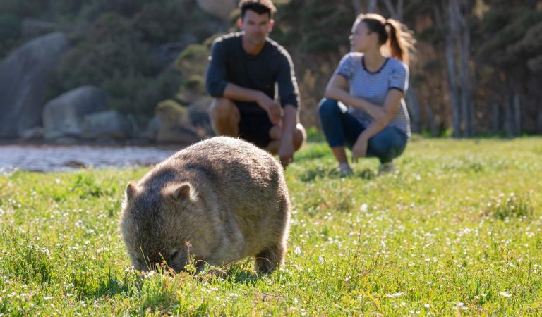
Wildlife viewing